Beyond Preveza Town: A Walk That Spans Three Thousand Years
Most people walking Preveza’s waterfront turn back before the town runs out. The walk around the tip of the headland takes a couple of hours, (allowing for refreshment stops and general mooching). It passes an abandoned military camp, two fortresses built by Ali Pasha in the same year, and a stretch of coastline where the Battle of Actium was fought in 31 BC. The Pantokratoras Fortress at the far end had its doors open. We went in.
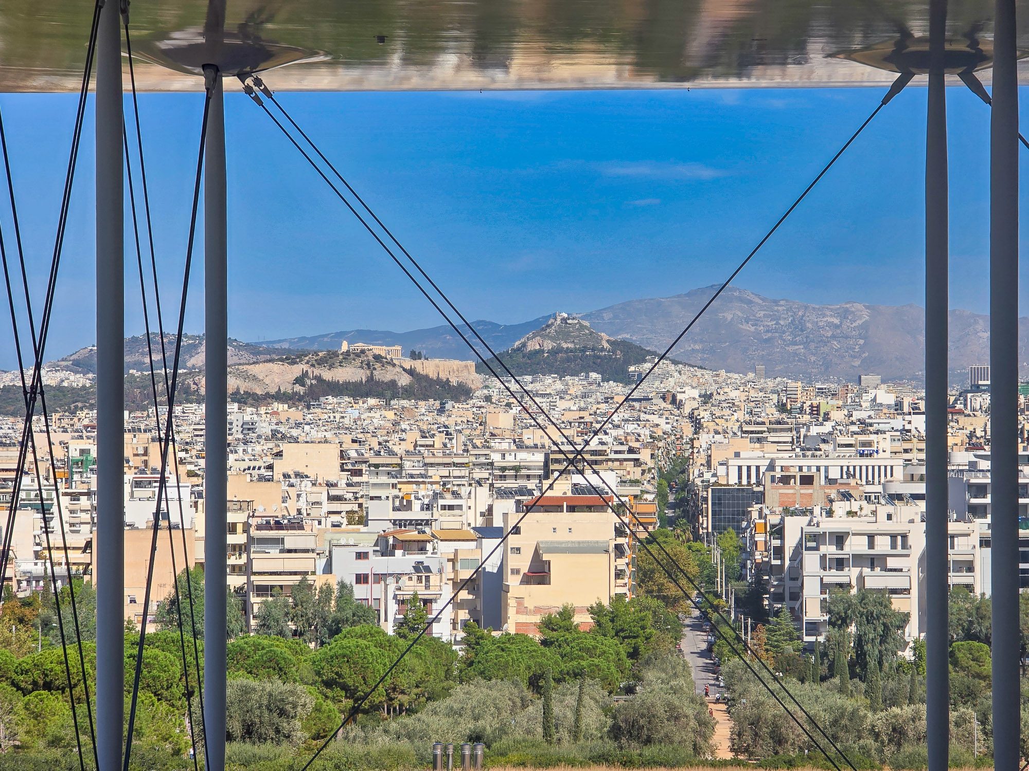
The Ambracian Gulf is one of the largest enclosed bodies of water in Greece, roughly 40 kilometres long and up to 15 kilometres wide, fed by the Arachthos and Louros rivers flowing down from the mountains of Epirus. It drains into the Ionian Sea through a single narrow channel just 700 metres wide at its most constricted point. Imagine two arms reaching out across the water in something close to an embrace, fingertips almost touching. Preveza sits in the palm of the right hand. Today we were going to walk around its fingertips.
The walk begins easily enough. From the Avra Hotel, the waterfront curves south and the town starts to thin out, the cafés and tavernas giving way to something less polished and more purposeful.
The Abandoned Military Camp
Not far along the waterfront, the first thing that caught my eye was a single-storey building directly across the road from the water’s edge. Walls at least half a metre thick, small barred windows, a corrugated iron roof and pairs of wide double doors facing the sea. The kind of doors designed to take a boat rather than a person. Whatever this was, it predates the military camp behind it and probably has nothing to do with it. My money is on a fisherman’s boathouse.
Just beyond it, a concrete arch spanning the road carries the words Camp Solomou (translated). The gate behind it is rusted open. On one side, a row of two-storey rendered houses, balconies intact, shutters still in place but hanging at angles, graffiti covering the lower walls. Military family housing, the kind built on Greek bases throughout the mid-twentieth century. Officers’ quarters, perhaps, or accommodation for NCOs. The kind of buildings that once had families in them.
Further in, behind a rusted mesh fence with a yellow sign reading Property of the National Defence Fund (translated) stands the main camp building. Three storeys, rendered white, balconies on every floor, windows long since gone. Graffiti across the upper levels. Nature doing its best with the lower ones.
Through an open window in one of the smaller buildings, a rusted cast iron radiator leaning against a wall and an old wood-burning stove still standing in the corner, both going nowhere. I love this stuff. The ordinary objects that get left behind when a place stops being used and nobody comes back to clear it out.


The location of all of this is not coincidental. Preveza has been strategically important for the best part of three thousand years, sitting at the only point where the Ambracian Gulf connects to the open sea. Whoever controlled this narrow channel controlled access to an enormous sheltered body of water stretching forty kilometres inland. The ancient Greeks understood it. The Romans fought one of the defining battles of the ancient world here. The Venetians, the Ottomans, the French and the British all wanted it. Ali Pasha spent fourteen years building fortresses around it. The result is a town where military infrastructure turns up in the most unlikely corners, and an abandoned camp wedged between a fisherman’s boathouse and a beach bar is, on reflection, not surprising at all.
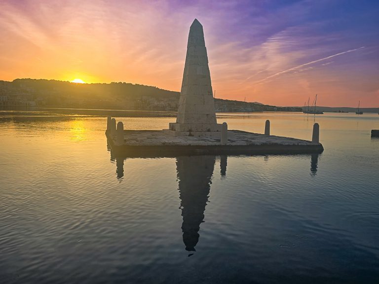
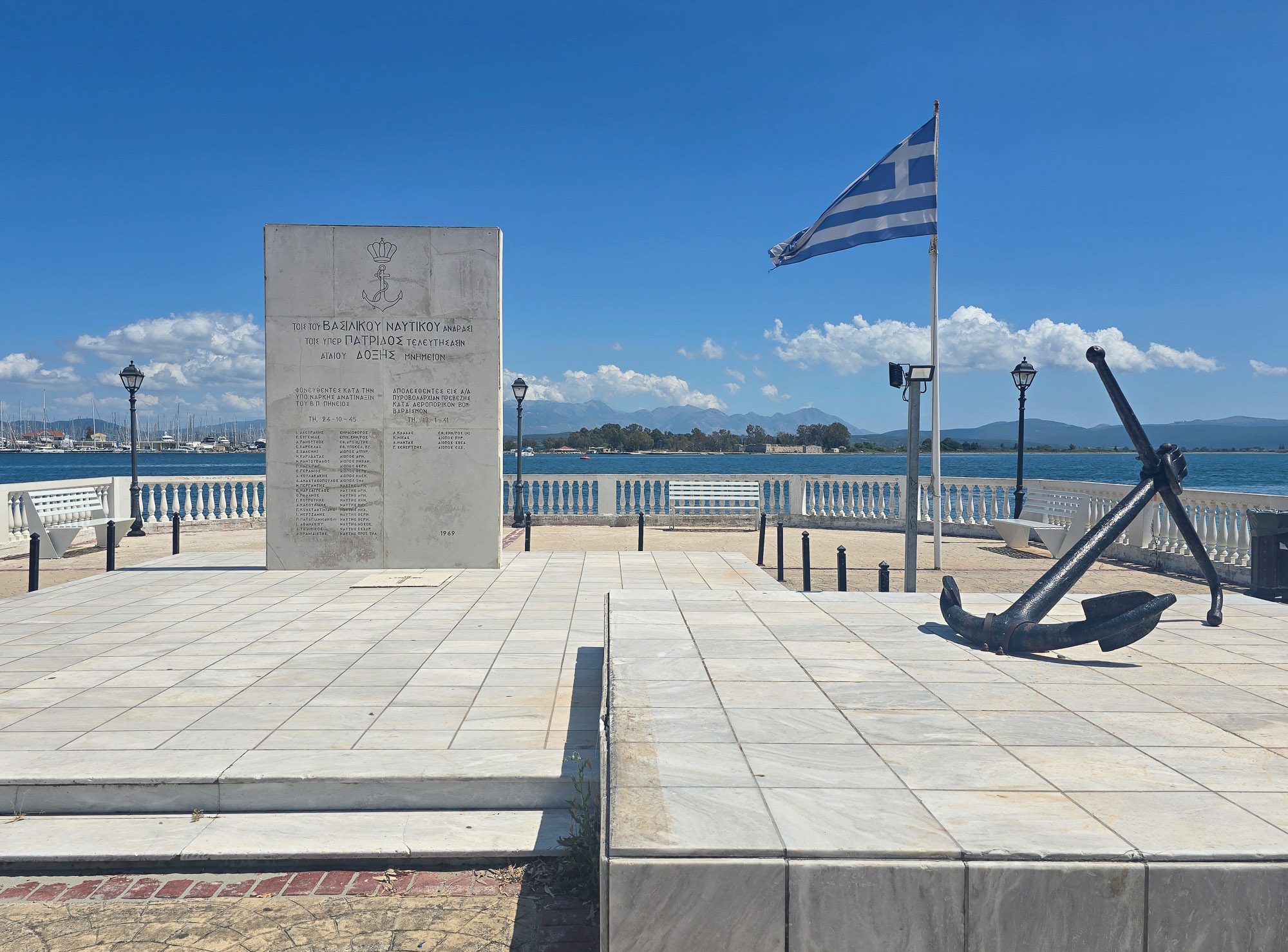
Sailor’s Monument
Standing on Preveza’s waterfront nearby, is a striking naval memorial that honours sailors of the Royal Hellenic Navy who lost their lives in service to Greece. Inscribed with the words “to the men of the Royal Navy who died for the homeland”, it was erected in 1969 as a lasting tribute to those who never returned home. Set against the backdrop of the Ambracian Gulf, it is one of those monuments that can easily be passed without a second glance, yet it tells an important story about the town’s wartime past.
The memorial records two separate tragedies connected to Preveza. One side commemorates those killed in the underwater explosion of the naval vessel Pineios on 24 October 1945, an incident that took place shortly after the Second World War had ended. The other remembers sailors lost during the shelling and aerial bombardment of Preveza on 13 January 1941, during the turbulent early months of Greece’s wartime involvement. Beneath each heading are the names and ranks of the men who lost their lives, ensuring that their sacrifice remains part of the town’s story.
Aktio: The Promontory That Changed the World
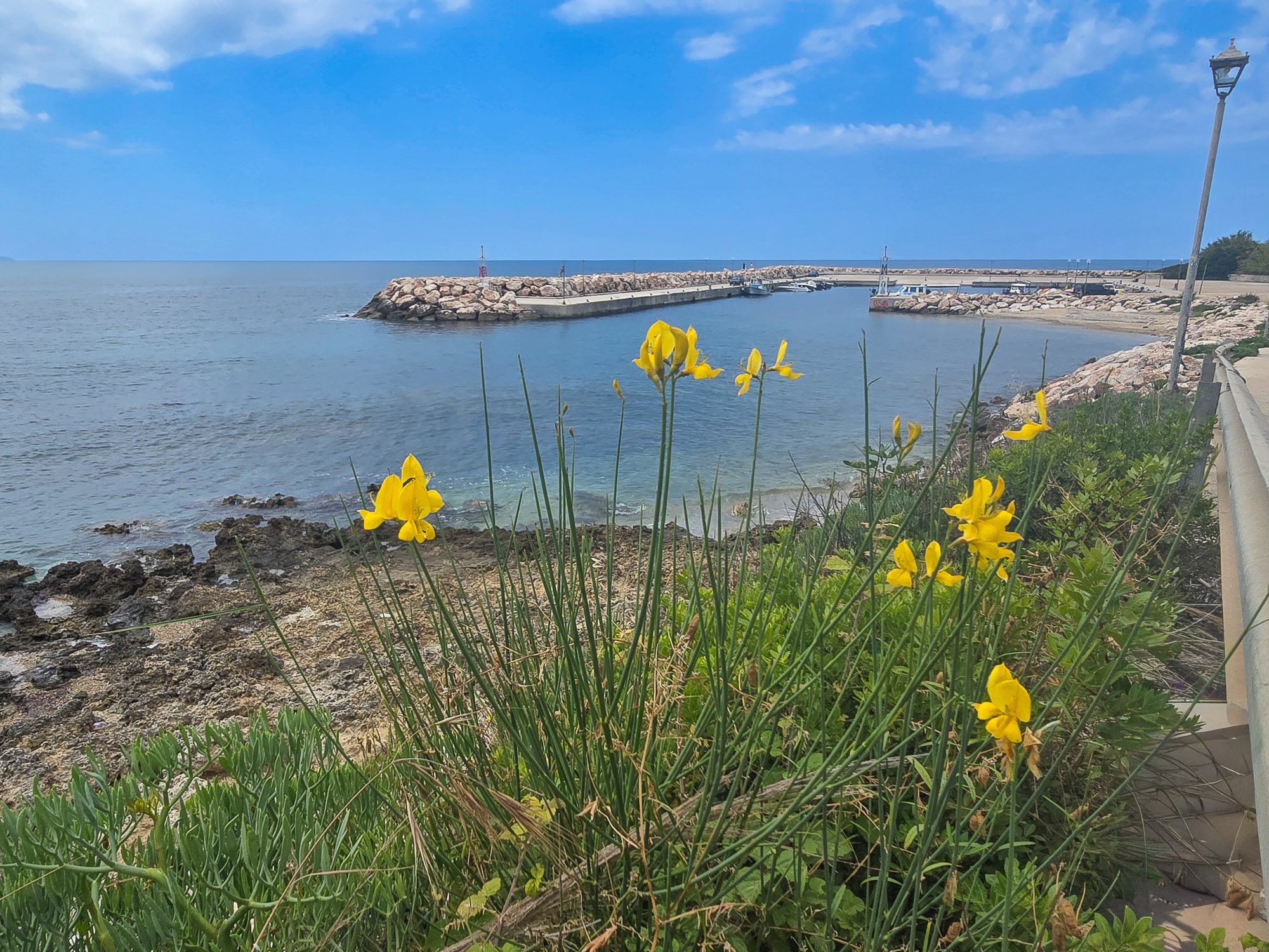
Here we were at the first corner of the headland’s tip. A small patch of beach opened up and drew our eyes across the mouth of the gulf. Just 700 metres of water separated us from the Aktio promontory, and sitting there, toe to toe with us, was the Actium Fortress.
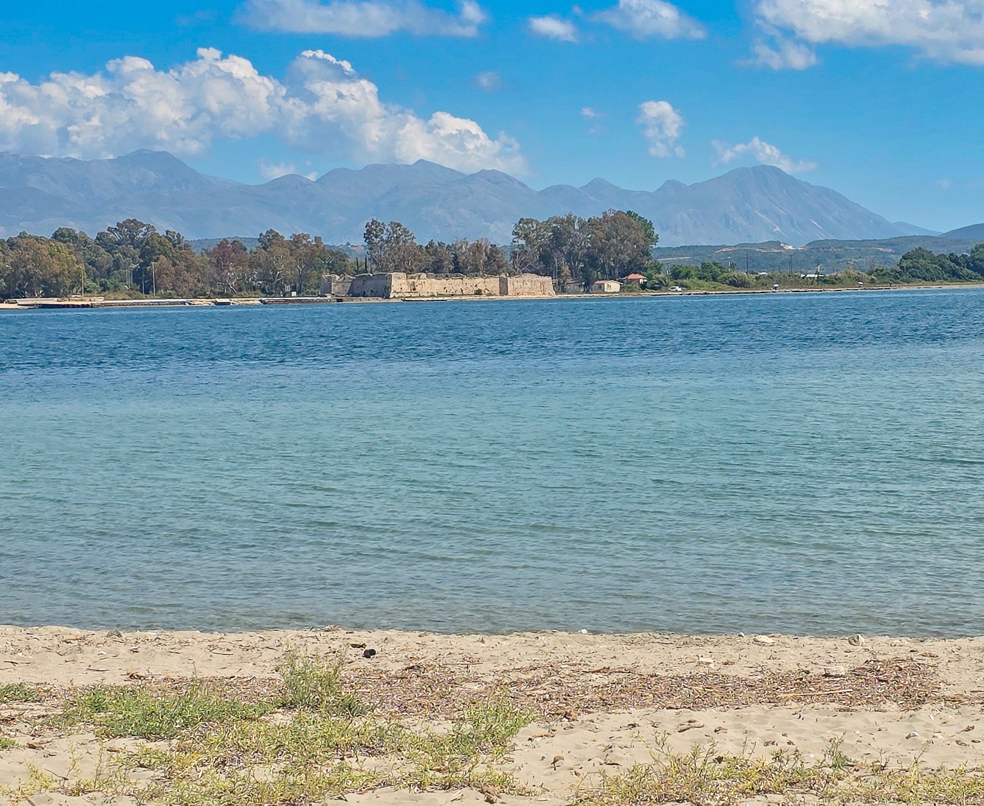
Built by Ali Pasha between 1807 and 1810 as part of the same defensive system as the Preveza fortresses, triangular in plan with polygonal towers at the corners. Inside, the remains of older structures suggest the position was fortified well before he arrived. The fortress itself has nothing to do with what made this promontory famous. It simply occupies the same ground, for the same reason everyone always has.
The history of this place starts considerably earlier. Around 625 BC, Corinthian colonists established a sanctuary of Apollo on this promontory, dedicated to Apollo Aktios, protector of sailors and the coast. The Actia games were held here in his honour, drawing athletes and pilgrims from across the region. By the third century BC, the Acarnanians had taken over the sanctuary and made it the centre of their religious gatherings. It was already an ancient and significant place long before any battle was fought here.
On 2 September 31 BC, Octavian defeated the combined forces of Mark Antony and Cleopatra in these waters. The Roman Republic fell. The Roman Empire began. Between them, the two fleets mustered around 800 warships in this channel, at its narrowest point just 700 metres wide. Standing beside calm water on a warm afternoon, it is difficult to imagine.
After his victory, Augustus enlarged the temple and elevated the Actia games to a five-yearly festival of imperial importance, ranking them alongside the great games of Greece. He dedicated captured enemy ships to Apollo and founded Nicopolis just up the road to commemorate the victory. The Temple of Apollo stood until an earthquake brought it down. Archaeologists found the ruins in 2009, along with statue heads of Apollo and Artemis.
Preveza and Aktio have been connected by an undersea tunnel since 2002. From where we were standing, you would never know it was there.
The Fortress of St George
To the right of the road sits the Fortress of St George, also known by its Ottoman name Yeni Kale, meaning New Fortress. Built in 1807 on the orders of Ali Pasha, who by this point had been running Preveza for about a year and had already made clear he intended to leave his mark on it. The fort was designed by French military engineers, specifically Colonel Frédéric François Guillaume de Vaudoncourt, though Ali Pasha reportedly ignored much of his proposed design and took the credit for the construction himself. The walls were set at a slight angle to deflect artillery fire, an interesting detail. The workers were brought in from across Ali’s territories, many of them by compulsory labour and without pay, completing the fort in less than a year.
This is where you can begin to see how the two fortresses on opposite sides of the strait were planned to work together as part of the same defensive system. Together they formed a pincer across the entrance to the gulf. Nothing passed without being seen.
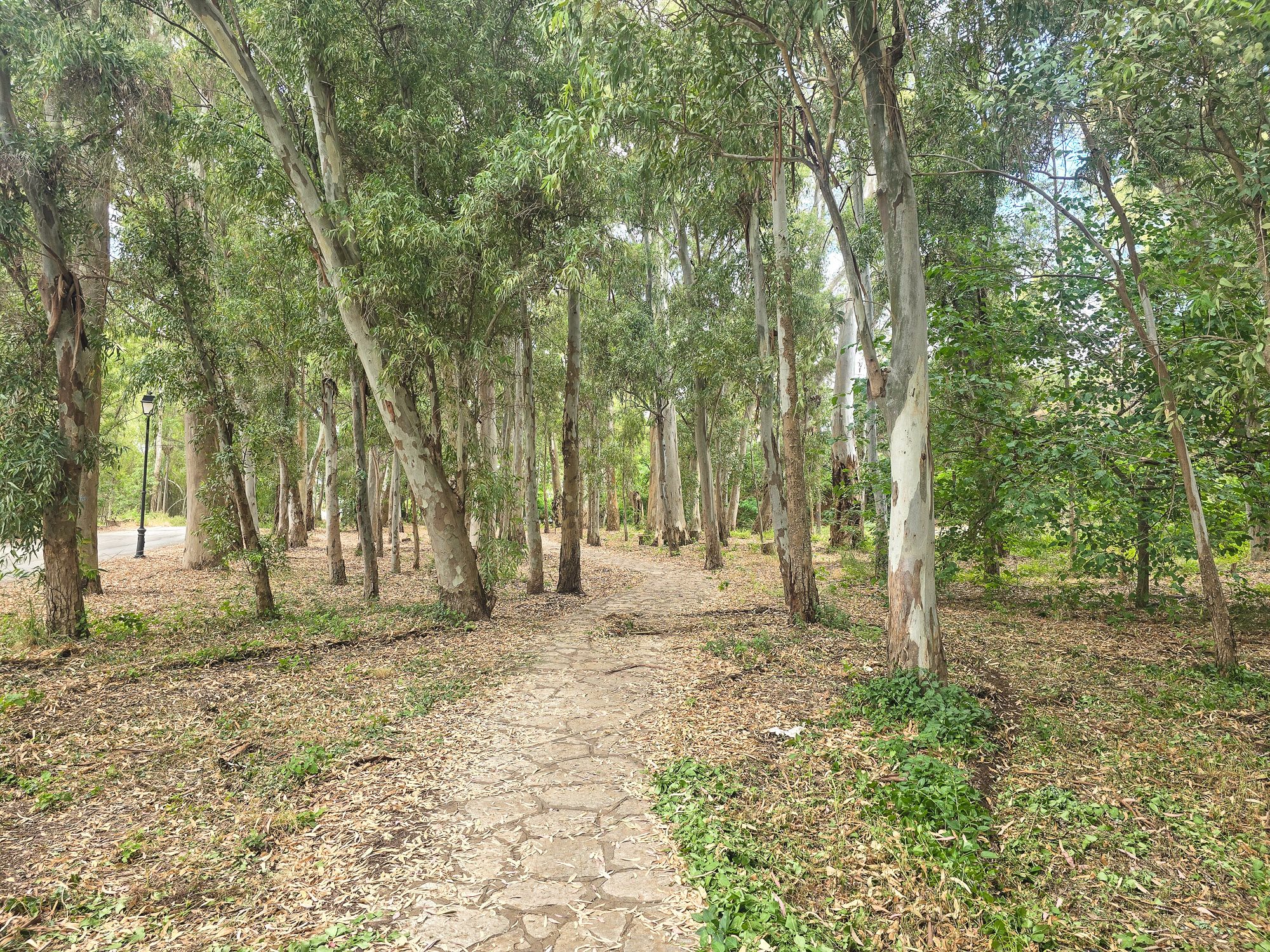
The Eucalyptus Beach Walking Path
The road changes after that. Tall eucalyptus trees line both sides, their canopies meeting overhead and filtering the light to something considerably more comfortable than full May sunshine. The scent hits you before the shade does. This stretch is marked on the map as the Eucalyptus Beach Walk, which is exactly what it is. The trees grow right down to the shoreline at Kiani Akti, providing shade directly on the sand.
Eucalyptus was introduced to this part of Greece in the nineteenth and early twentieth centuries for a practical reason: planted to drain marshy ground and reduce mosquito breeding in low-lying coastal areas. Preveza sits surrounded by wetlands and lagoons, and this stretch of headland would once have been considerably more waterlogged than it looks today. The trees did their job. Walking beneath them, you would never know.
Kiani Akti
To the left, Kiani Akti, an award-winning beach. Not the most spectacular beach in Greece, and the sand will not be the nicest you will find on your travels, but the setting makes up for it. Across the water, mountain ranges stretched out along the hazy horizon. We didn’t linger. Peter had his sights set on something else.


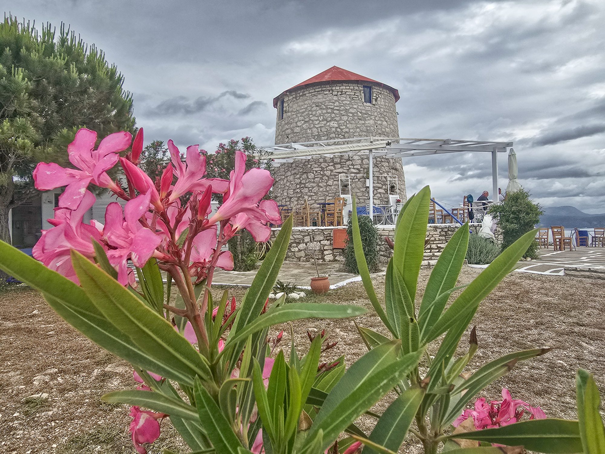
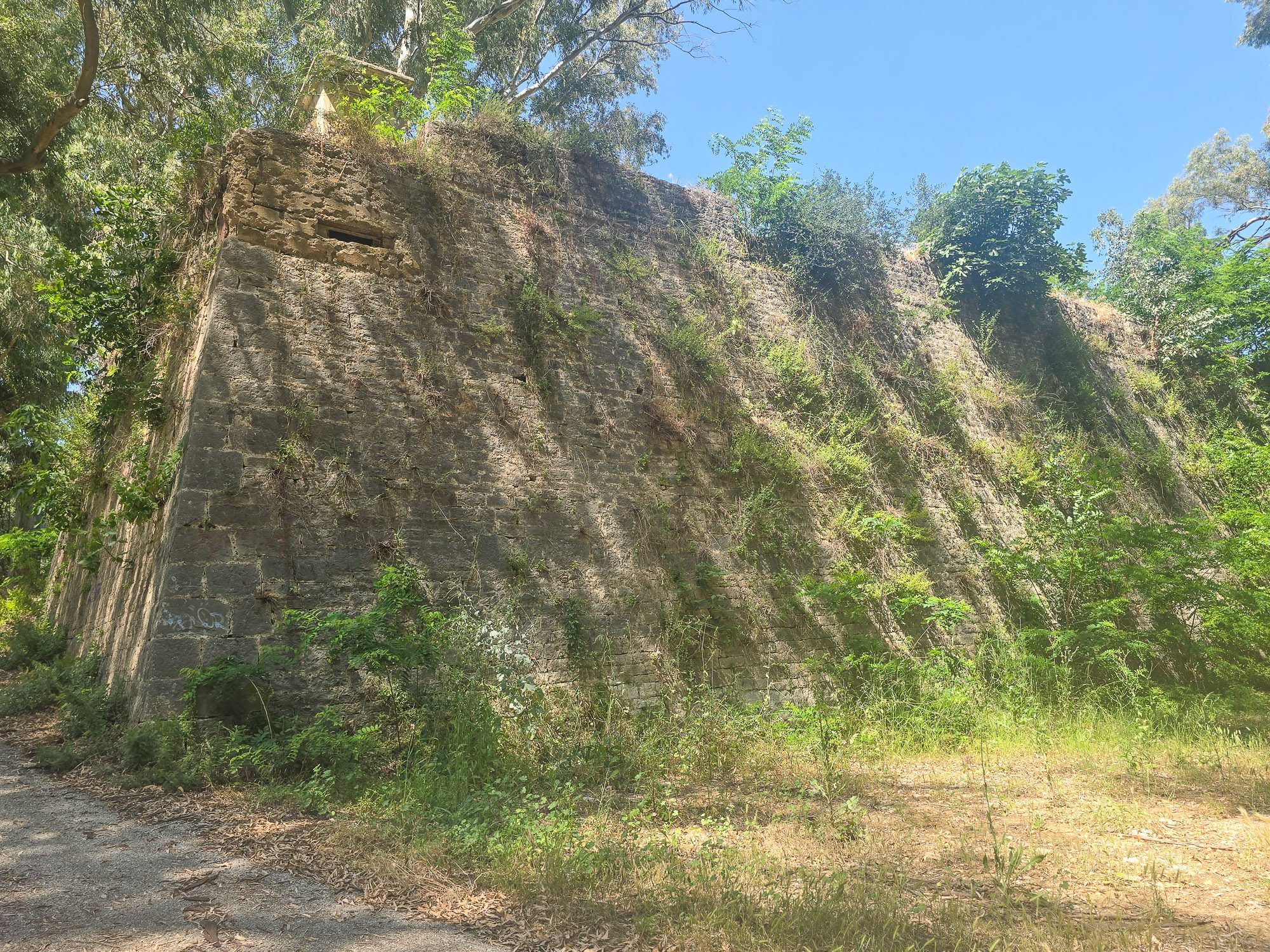
Pantokratoras Fortress
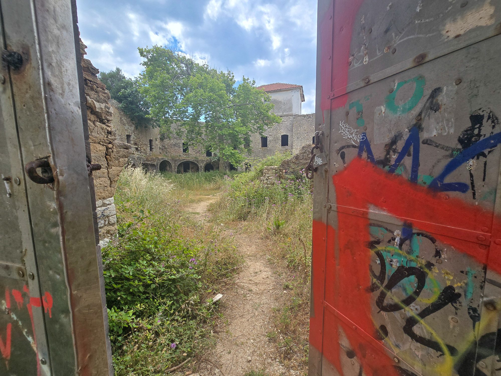
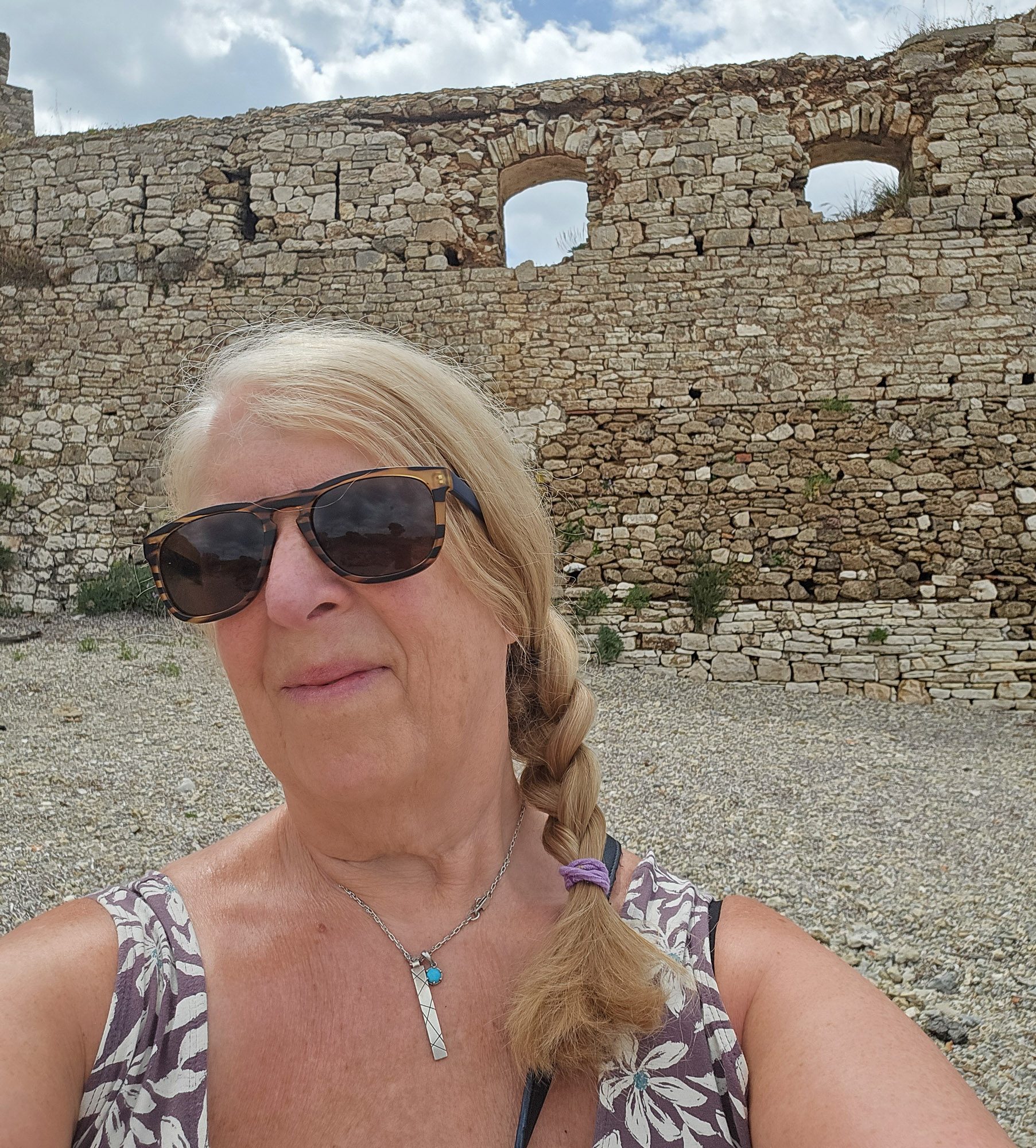
Sitting another kilometre or so from St George’s Fort, just after rounding the other tip of the promontory, we arrived at our third fortress of the walk, the Pantokratoras Fortress. Set low against the shoreline at the western tip of the headland, about three kilometres from the town centre, its weathered walls had the look of somewhere that had not been paid much attention for years.
The heavy entrance doors stood slightly ajar. Curiosity got the better of us.
Ali Pasha had this one built in 1807 too, at the same time as the Fortress of St George. Preveza and its strategic position was clearly a priority. The design was again the work of Vaudoncourt, the same French engineer, though the name Pantokratoras predates Ali’s construction, coming from a church that stood here during the earlier French occupation of the town. The Ottomans called it Uc Kale, meaning edge castle, which is an accurate description of where it sits.
The fortress was later used as a prison by the Greek government. The prisoners’ halls and the concrete balcony connecting the cells to the administration building are still there in the southwest wing.
Inside, the sense of abandonment was complete. Grass and wildflowers had claimed most of the central courtyard. Long rows of stone chambers opened onto darkness. Graffiti covered parts of the walls, which didn’t feel out of place.


Whilst Peter engrossed himself in exploring the chambers of the fort, I headed out to the rear of the fortress, where the sea lapped against the walls themselves. Standing on the rough shoreline behind it, with waves breaking against centuries-old masonry, the place had an almost cinematic quality.
Do you ever get that feeling that you’re being watched?
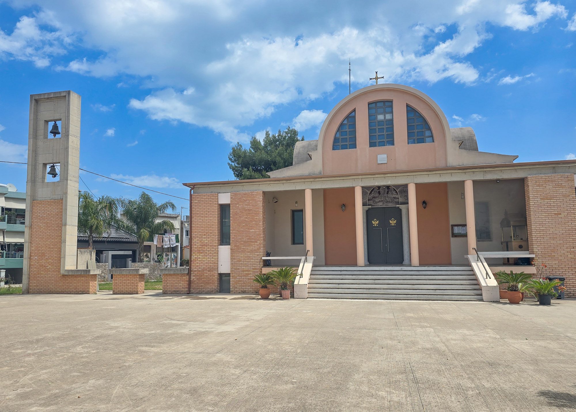
Pantokratoras Village
After leaving the fort, we continued around the headland to a small coastal settlement of Pantokratoras village. It has around 350 permanent residents and a beach that locals describe as the balcony of the city, seen particularly when the light falls across the Ionian Sea, and the outline of Lefkada sits on the horizon.
The marina is small and functional rather than grand, with a mix of small fishing boats and leisure craft. The stone monument at its entrance settles any question about what this place considers itself to be. Erected by the Cultural Association of Pantokratoras, it depicts a fisherman with his catch and carries the dedication Prevezanoi Psarades – the Fishermen of Preveza. An old anchor sits in the ground beside it. The boat moored alongside is named Agios Nikolaos. This is a community that has chosen to define itself through fishing, formally enough to put it in stone.


Walking through the village, the grid-like layout caught my eye. Too deliberate for somewhere that grew organically, and this part of Greece is no stranger to earthquake rebuilding, so that was my first assumption. It was wrong. Pantokratoras village was founded by refugees following the Asia Minor disaster of 1922 and the population exchange of 1923. Planned settlements built from scratch to house displaced communities almost always follow a grid. The streets make sense once you know the story.
Unlike so many other refugee settlements, it was not given a Nea name. The reason is simple: the place already had one. A church of Pantokratoras had been built here during the earlier French occupation of Preveza, and the fortress, the settlement, and, in time, a new church all took their names from it. The refugees arrived into a place that already existed, at least in name, rather than creating something new from nothing.
Where exactly in Asia Minor these families came from, and whether they brought a fishing tradition with them, I could not find out. The marina and the boats suggest it. But that is speculation rather than fact.
I know a man who will likely have the answers. I will ask him tomorrow when we meet up for a bit of an adventure.
On the way back we stopped at Restaurant Ionio, a highly rated fish taverna sitting just below the fortress at Pantokratoras. The hospitality was exceptional. I was too tired to photograph anything, which I regret, but the food was worth the walk on its own. If you get this far and have any energy left, stop here.
Discover more from A Greek Oddity
Subscribe to get the latest posts sent to your email.
Plan Your Greece is available now on Google Play. £11.99, one-off purchase, no subscription.
Get it on Google Play